
Three autonomous underwater drones have found the long-missing wreck of USS Stewart DD-224 at a depth of about 1,070 metres in the Pacific Ocean.
The discovery was made in August 2024 and announced on 1 October. It lies around 48 kilometres off northern California, within Cordell Bank National Marine Sanctuary.
The 96-metre destroyer remains largely intact, sitting almost upright after 78 years on the seabed.
Its remarkable service under both US and Japanese flags gives the wreck major historical significance. However, the pace of the successful search may be equally notable.
The official expedition announcement names Ocean Infinity, the Air/Sea Heritage Foundation, SEARCH, NOAA’s Office of National Marine Sanctuaries and the Naval History and Heritage Command as project partners.
USS Stewart and the Asiatic Fleet
USS Stewart entered US Navy service in September 1920 before being assigned to the Asiatic Fleet.
The destroyer was damaged during the Battle of Badung Strait in February 1942 and sent to a repair dock in Java. An accident there left the vessel stranded as Japanese forces closed in.
Before departing, its crew attempted to disable and scuttle the ship. Japan subsequently salvaged the wreck, restored it and commissioned it as Patrol Boat No. 102, employing the former US destroyer chiefly on escort work.
Allied airmen later reported the unusual sight of an ageing American-style warship sailing behind enemy lines.
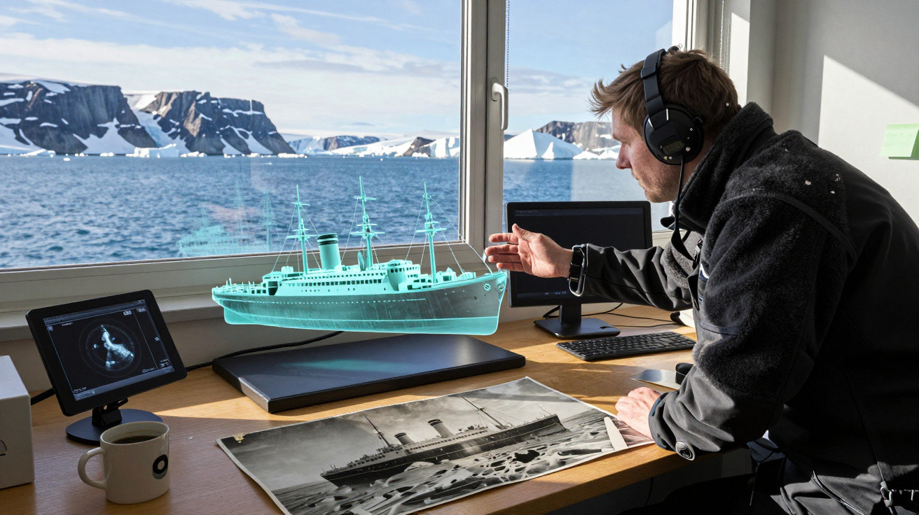
The mystery contributed to its “Ghost Ship of the Pacific” nickname, though its true identity was confirmed after US forces discovered the vessel in Japan at the war’s end.
One final voyage home
The damaged ship was returned to US control in an emotional recommissioning ceremony on 29 October 1945.
Sailors referred to it as “RAMP-224”, combining its hull number with a wartime term for recovered Allied personnel.
Its engines failed on the journey back to the United States, and it ultimately had to be towed into San Francisco Bay.
By that stage, the ageing destroyer was obsolete and too badly damaged to be of practical use.
On 24 May 1946, the Navy used the vessel as a target off the Californian coast.
For more than two hours, it was hit by aircraft rockets, machine-gun fire and naval gunfire before finally sinking. Only broad historical indications of its final location remained.
Three robots searched together
The expedition team launched three HUGIN 6000 underwater vehicles, each measuring roughly 6 metres long.
An autonomous underwater vehicle, or AUV, travels along a pre-programmed route without a person aboard or a cable linking it to the surface.
How can a 96-metre ship be located in deep water where sunlight is of no help? Sonar provides the answer.
High-resolution sonar transmitted sound through the sea and interpreted the echoes that returned, while a multibeam echo sounder charted the contours of the seabed.
All three machines searched at the same time for 24 hours. Operating three vehicles together enabled the team to survey the target area far more rapidly than a conventional single-vehicle operation.
USS Stewart search area explained
Logbook records from ships involved in the 1946 sinking helped focus the search.
The selected grid covered approximately 79 square kilometres, and the wreck appeared in data collected on the first day, less than 6.4 kilometres from its reported sinking location.
One figure requires context. Cordell Bank National Marine Sanctuary extends across 3,331 square kilometres, but the drones did not survey the whole protected area during this expedition.
That difference demonstrates why archival work remains vital even in a technologically advanced search. Robots may scan quickly, but historical documents make them much more effective by indicating where to search.
Almost upright after 78 years
Early sonar data revealed an identifiable ship lying nearly upright rather than a dispersed field of wreckage.
A subsequent high-resolution survey, together with a camera-equipped remotely operated vehicle controlled from the surface, confirmed that much of the hull is still connected.
The wreck has not remained unmarked. Images show damage caused by the 1946 bombardment, alterations made during Japanese service and decades of marine growth. Even so, its overall outline is exceptionally distinct for a vessel approaching a century in age.
Researchers said it may be among the best-preserved American “four-stacker” destroyers known to survive.
The phrase describes the four funnels that gave this generation of early twentieth-century warships its recognisable profile.
History became habitat
Crabs, fish and other deep-sea species now inhabit sections of the steel wreck. A vessel constructed for warfare has gradually formed hard habitat on a seabed containing extensive areas of softer sediment.
The imagery and environmental information gathered can assist sanctuary scientists in recording both the wreck itself and the animals living around it.
The expedition therefore has two forms of value: archaeological and ecological.
The location is protected as well. USS Stewart remains US government property as a sunken American military craft, while the Sunken Military Craft Act generally bans unauthorised disturbance, removal or damage.
Why the technology matters
Michael L. Brennan, Russell E. Matthews, Andrew Sherrell and James P. Delgado documented the mission and described the wreck as “a powerful symbol of the Pacific War’s complexity.”
That assessment suits a ship that served two opposing naval forces before eventually returning home.
The work also offers a wider lesson. Groups of autonomous robots can quickly produce high-resolution maps of large areas, supporting maritime archaeology, habitat assessment, offshore wind planning and investigations into potential undersea cable routes.
Even so, quicker discoveries do not eliminate the need for historians, archaeologists, permits and careful management of sites.
The robots provided the range, but human records and judgement directed them to the correct area of ocean.
The official study appeared in the Journal of Maritime Archaeology.












Comments
No comments yet. Be the first to comment!
Leave a Comment